Log in
All resources
Create a design
35,787 Free Images of 1815 Maps
maps made in the 17th century
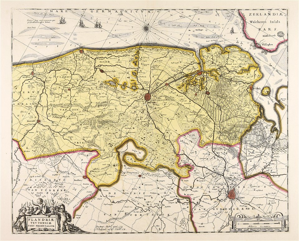
maps by pieter schenk (i)
gerard valck
maps in the library of congress
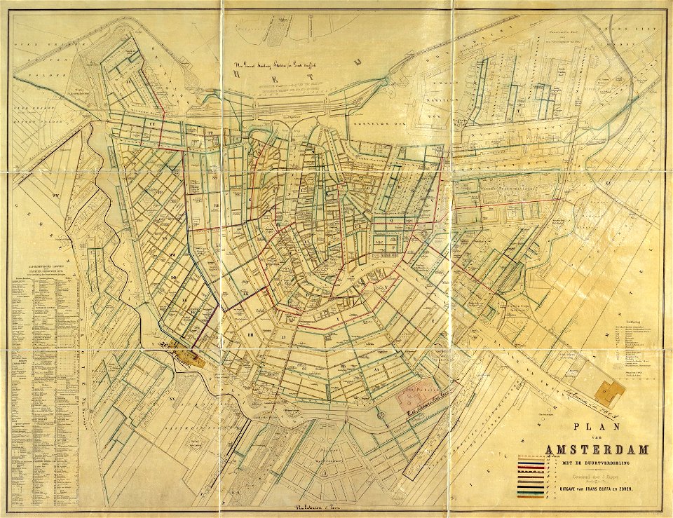
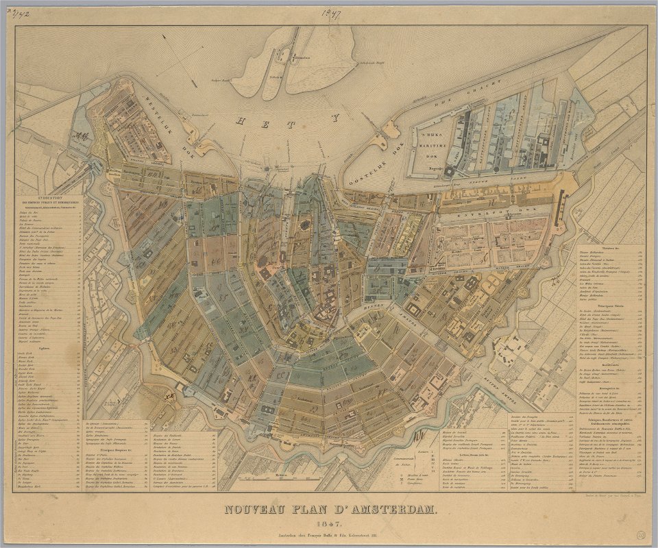
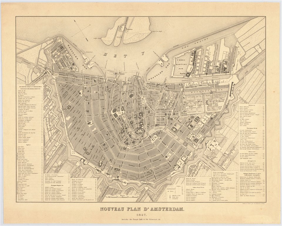
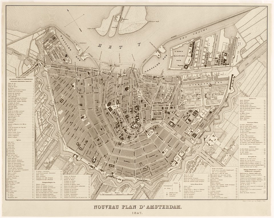
maps in the stadsarchief amsterdam
old maps of amsterdam
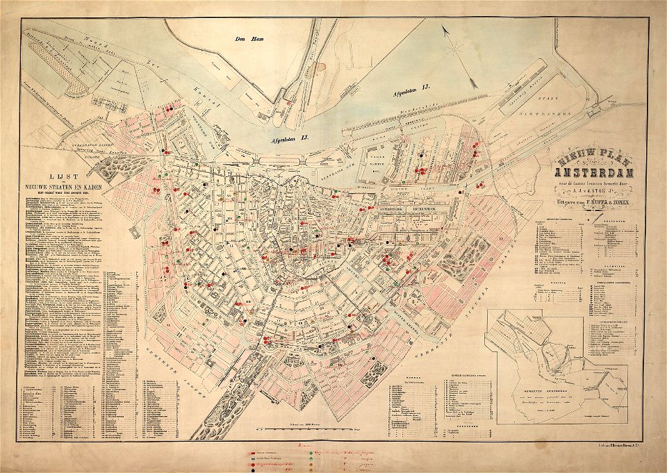
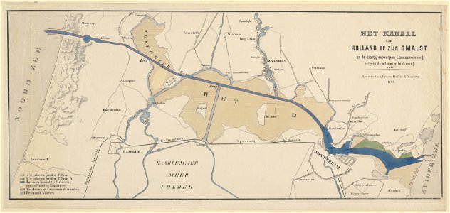
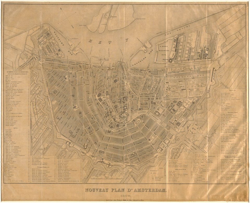
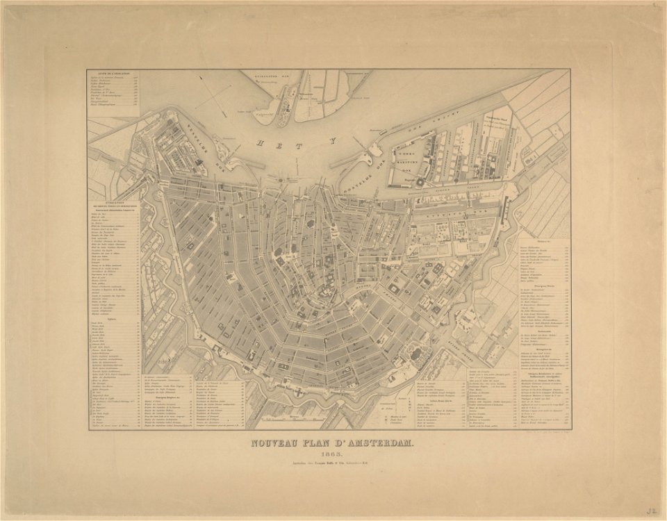
published by frans buffa & zonen
atlantis magni tomus tertius (biblioteca comunale di trento)
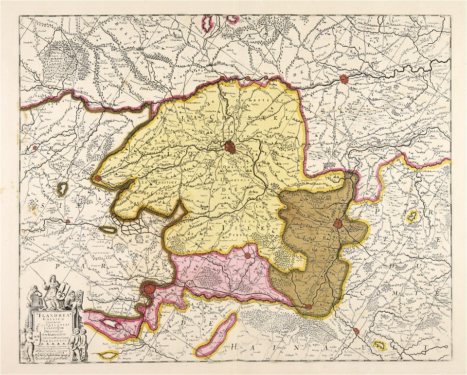
fonds ancely - bibliothèque municipale de toulouse - maps
victor levasseur - maps of france
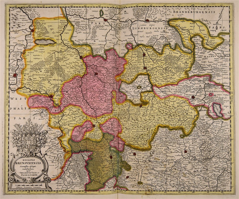
maps made in the 17th century
gerard valck
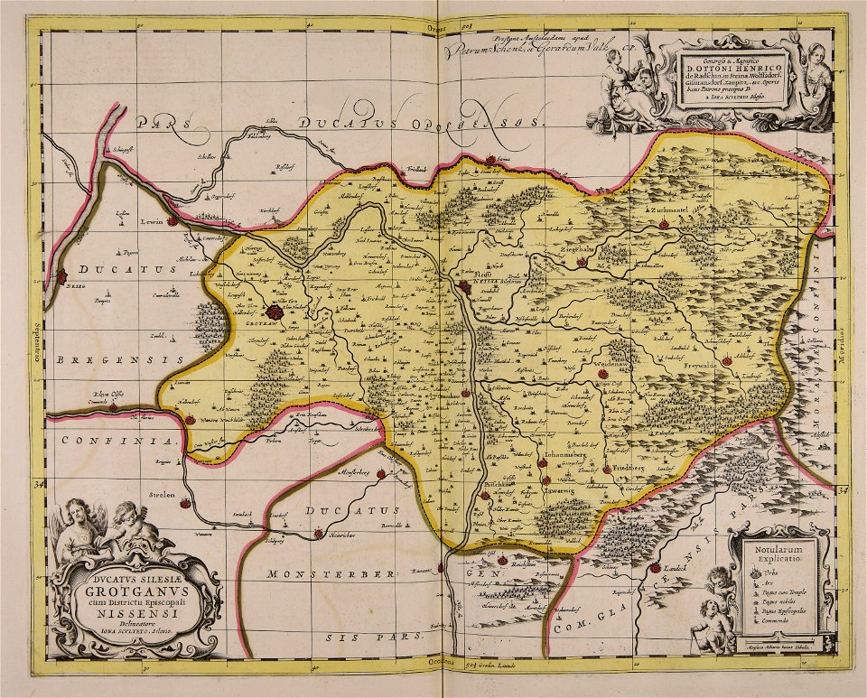
old maps of silesia
gerard valck
fonds ancely - bibliothèque municipale de toulouse - maps
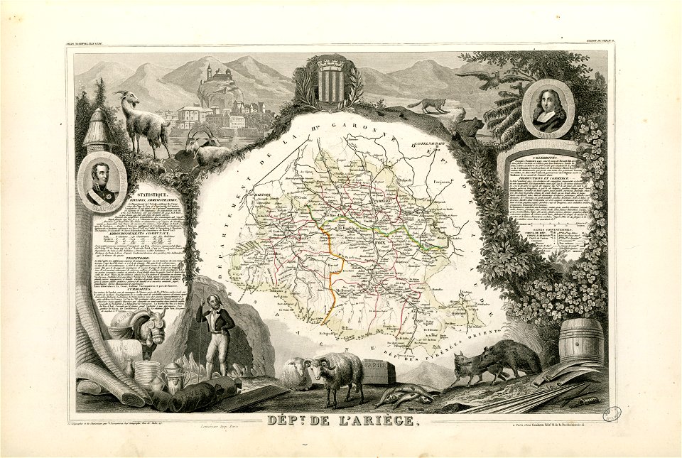
coats of arms of cities in pyrénées-atlantiques
fonds ancely - bibliothèque municipale de toulouse - maps
joachim murat
fonds ancely - bibliothèque municipale de toulouse - maps
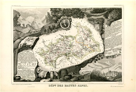
coats of arms of cities in hautes-alpes
fonds ancely - bibliothèque municipale de toulouse - maps
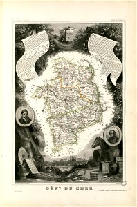
coats of arms of cities in cher
fonds ancely - bibliothèque municipale de toulouse - maps
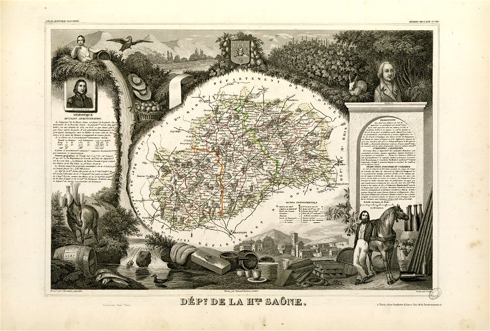
coats of arms of vesoul
fonds ancely - bibliothèque municipale de toulouse - maps
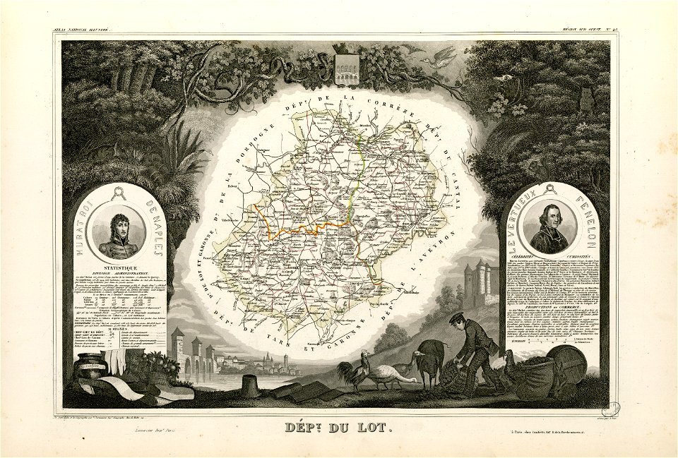
victor levasseur - maps of france
fonds ancely - bibliothèque municipale de toulouse - maps
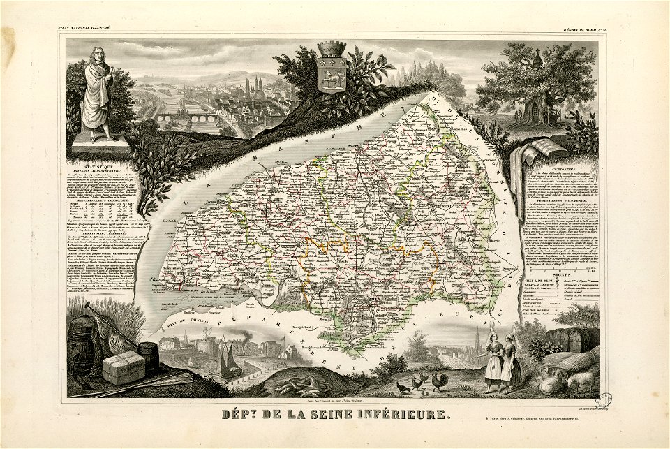
coats of arms of rouen
fonds ancely - bibliothèque municipale de toulouse - maps
saint vincent de paul
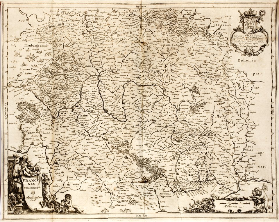
1642 maps of bavaria
franconia
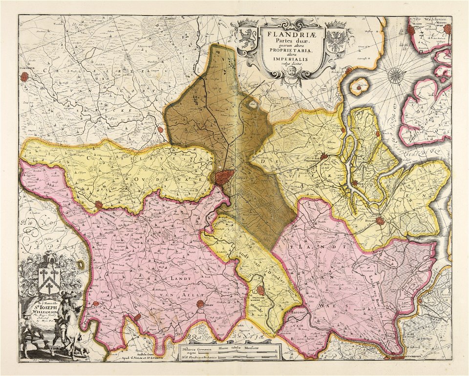
maps made in the 17th century
gerard valck
maps made in the 17th century
gerard valck
maps made in the 17th century
gerard valck
maps made in the 17th century
gerard valck
maps made in the 17th century
gerard valck
maps made in the 17th century
gerard valck
maps made in the 17th century
gerard valck
maps in the library of congress
new york
maps in the library of congress
new york
maps made in the 17th century
gerard valck
maps made in the 18th century
maps by pieter schenk (i)
maps made in the 17th century
gerard valck
maps made in the 17th century
gerard valck
birds in art of france
lions in art
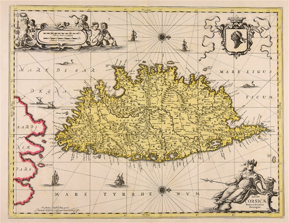
maps made in the 17th century
gerard valck
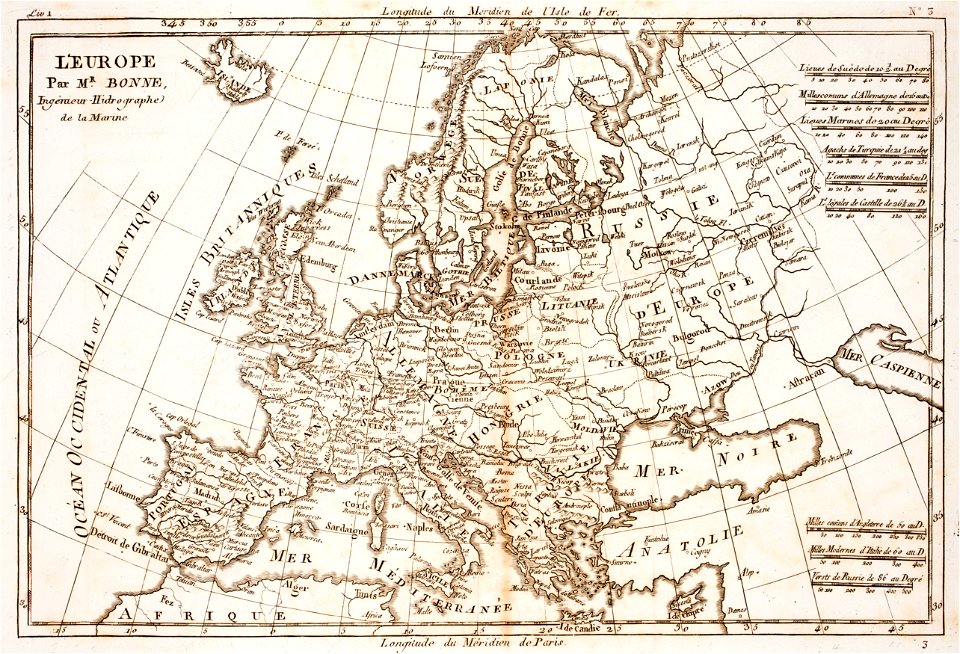
prints from bonne atlas de toutes les parties at the peace palace library
18th-century maps of europe
prints from bonne atlas de toutes les parties at the peace palace library
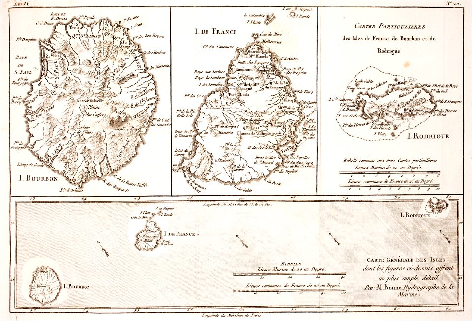
maps of rodrigues island
maps in the library of congress
new york
maps made in the 17th century
gulf of trieste
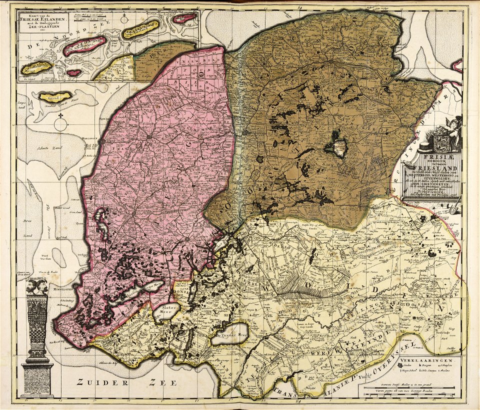
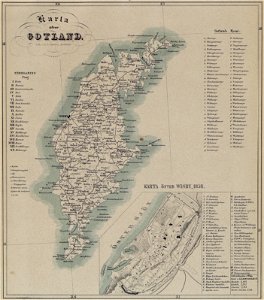
maps of gotland
pehr arvid säve
old maps of the british isles
maps made in the 18th century
maps made in the 17th century
gerard valck
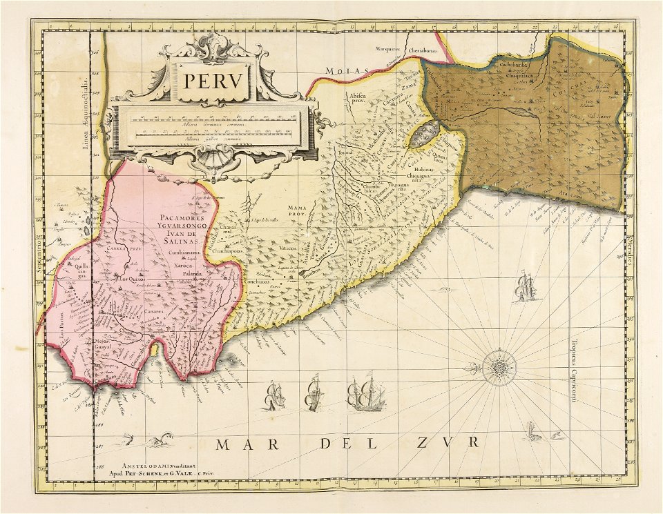
old maps of peru
gerard valck
old maps of silesia
gerard valck
old maps of styria
gerard valck
old maps of nuremberg
gerard valck
maps made in the 17th century
gerard valck
maps made in the 17th century
nicolaes visscher ii
old maps of south africa
boer
coats of arms of galicia (spain)
holy roman empire
l'illustration
1862
maps in the library of congress
sailing ships of spain
maps by sebastian münster
old maps of slovakia
dutch bengal
1747)
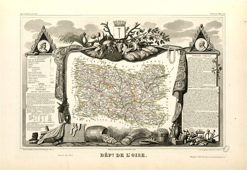
coats of arms of cities in oise
old maps of oise
maps by willem and johannes blaeu
wijnhaven, the hague
19th-century maps of the spanish empire
1810s maps of south america
old maps of austria-hungary
austro-hungarian army
evening standard
1815 births
social background of officers and other ranks in the french army
portrait paintings of charles xiv john of sweden
19th-century sailing ships in paintings
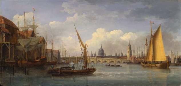
paintings of the river thames
auguste couder
france
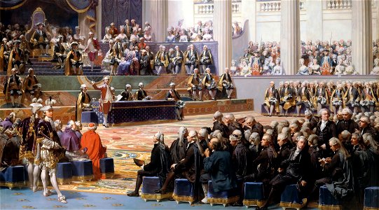
king louis xvi of france army (1774-1792)
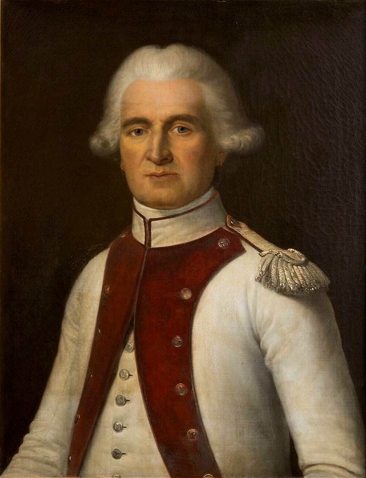
jean mathieu philibert sérurier
19th-century oil on canvas paintings
dido in paintings
johann christoph winkler
old maps of prague
maps in the library of congress
new york
maps by alexandre vuillemin
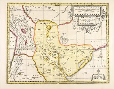
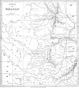
old maps of paraguay
ancient egypt
egypt
1590s maps of the world
frans hogenberg
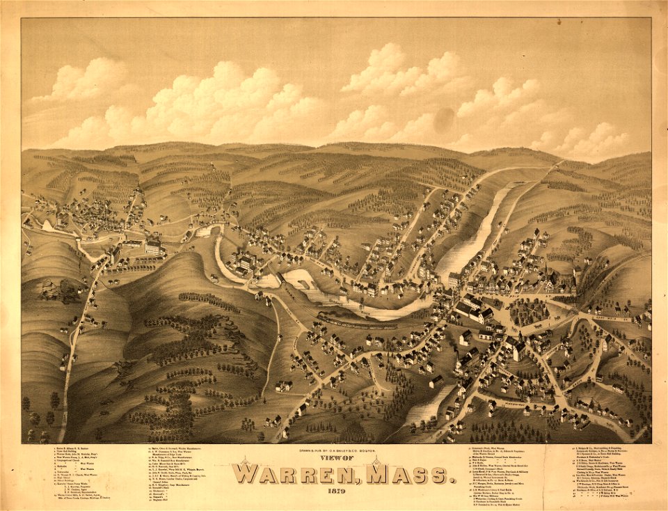
massachusetts
warren
massachusetts
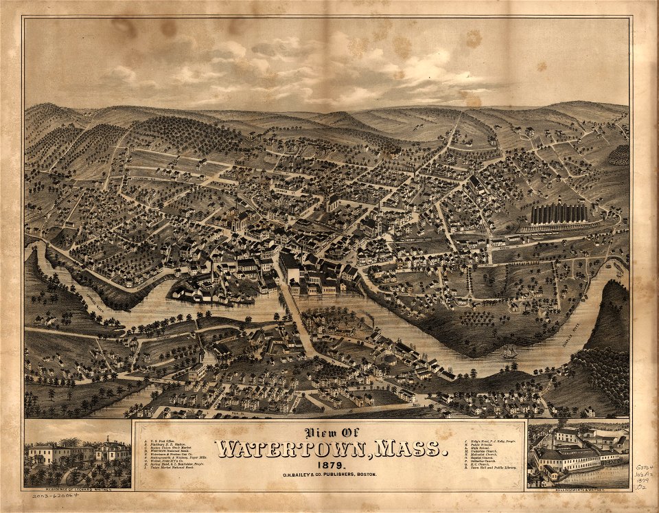
watertown
massachusetts
warren
massachusetts
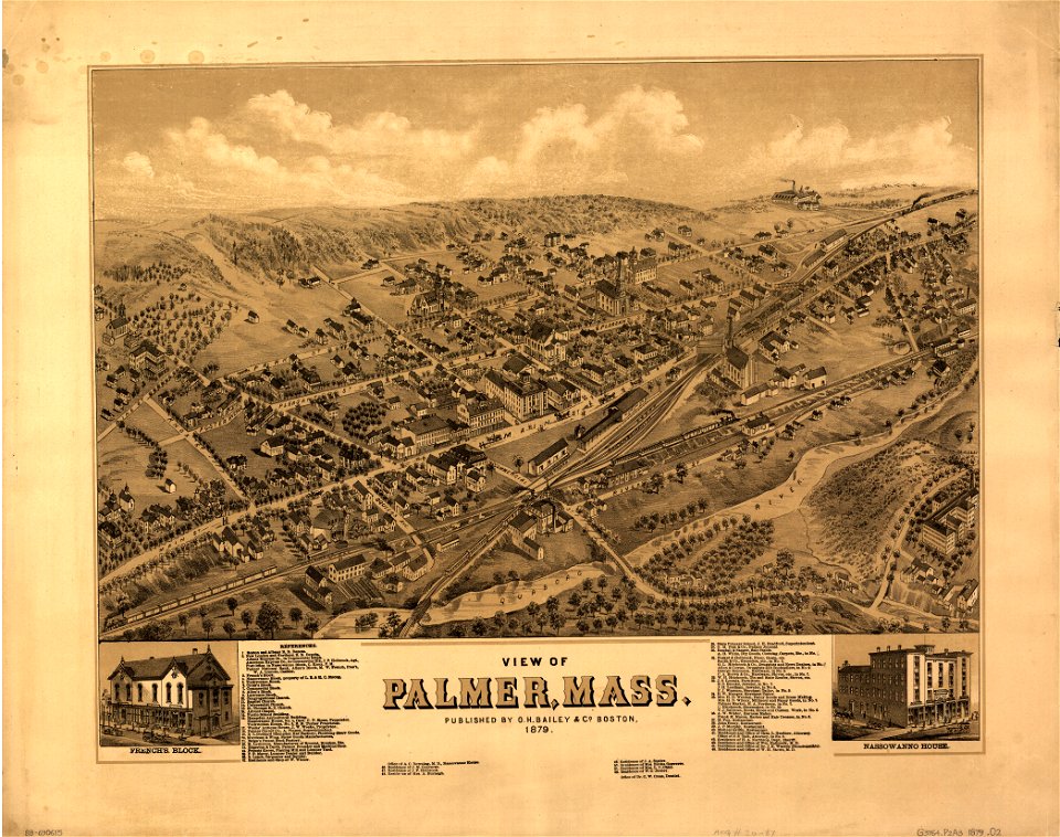
palmer
massachusetts
palmer
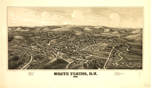
maps in the library of congress
washington
maps in the library of congress
washington
massachusetts
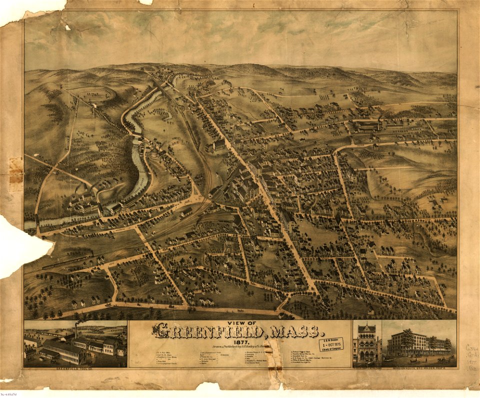
greenfield
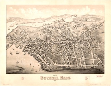
massachusetts
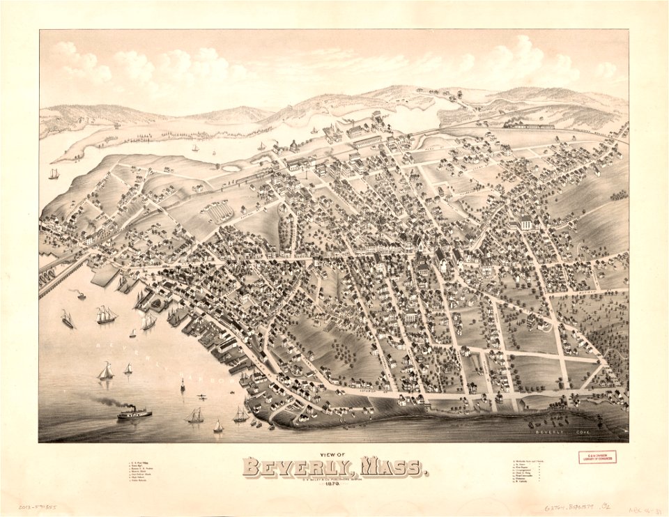
beverly
massachusetts
greenfield
massachusetts
beverly
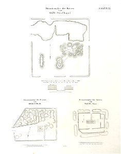
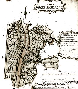
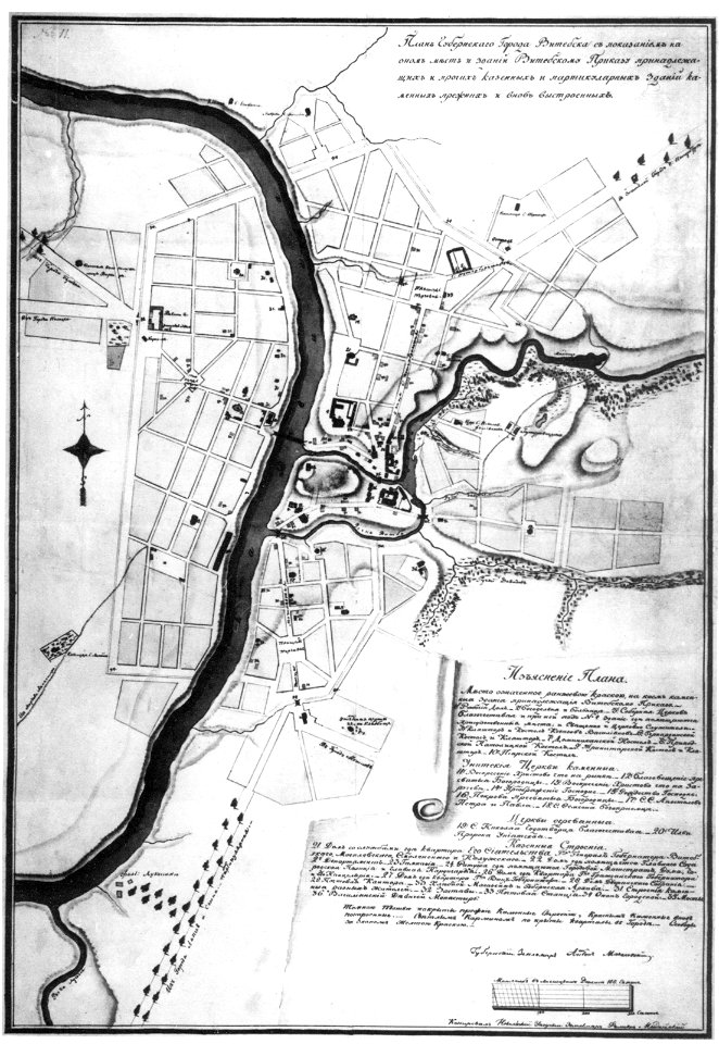
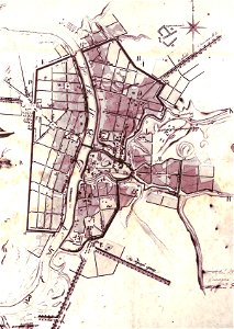
maps in russian state archives of ancient documents
historical images of viciebsk
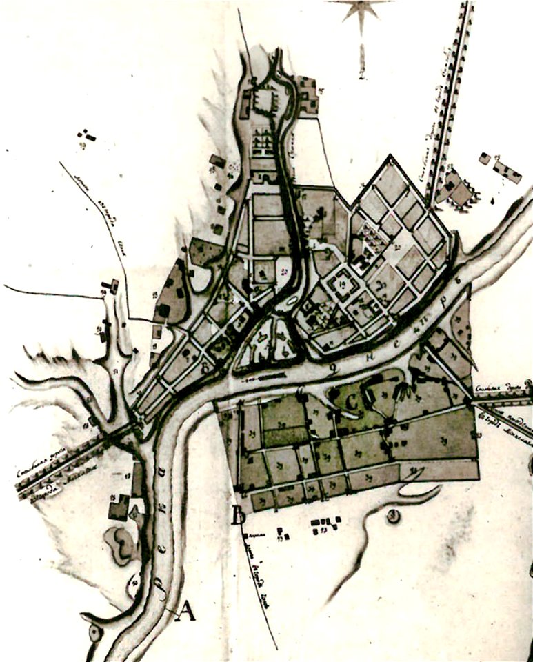
maps in russian state archives of ancient documents
historical images of orša
maps in russian state archives of ancient documents
historical images of viciebsk
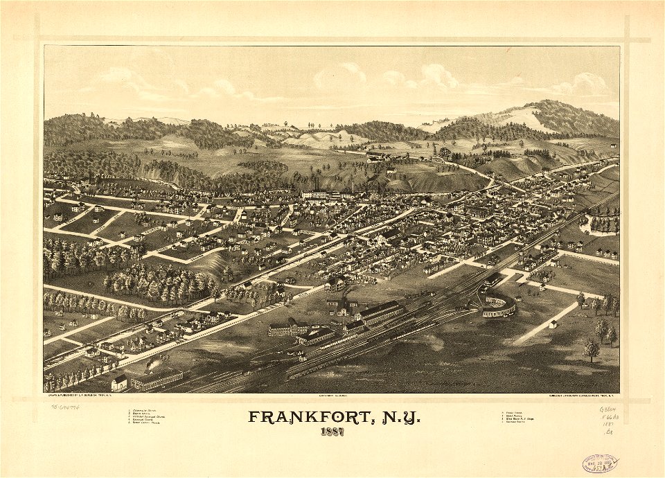
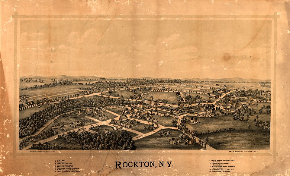
maps in the library of congress
l. r. burleigh
university of toronto wenceslas hollar digital collection
old maps of wales
maps in russian state archives of ancient documents
historical images of viciebsk
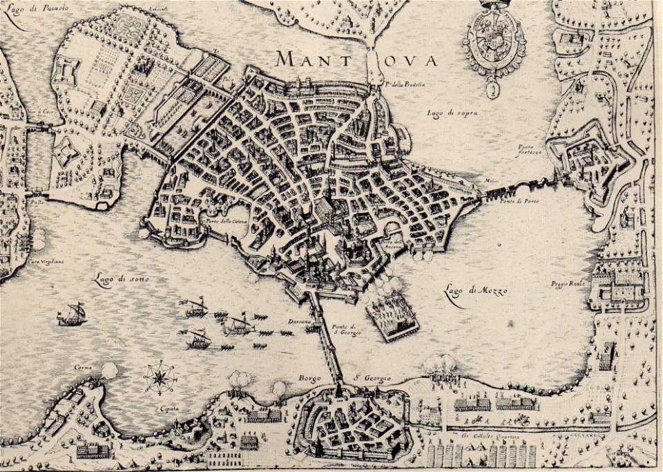
claudio monteverdi
history of mantua
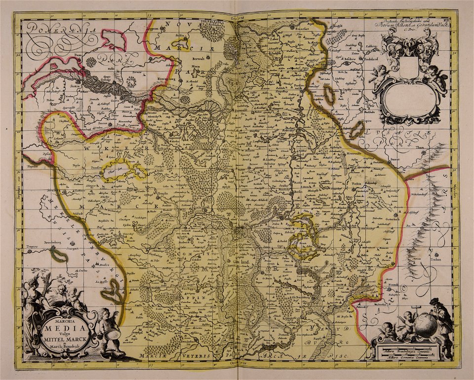
western pomerania
maps of stralsund
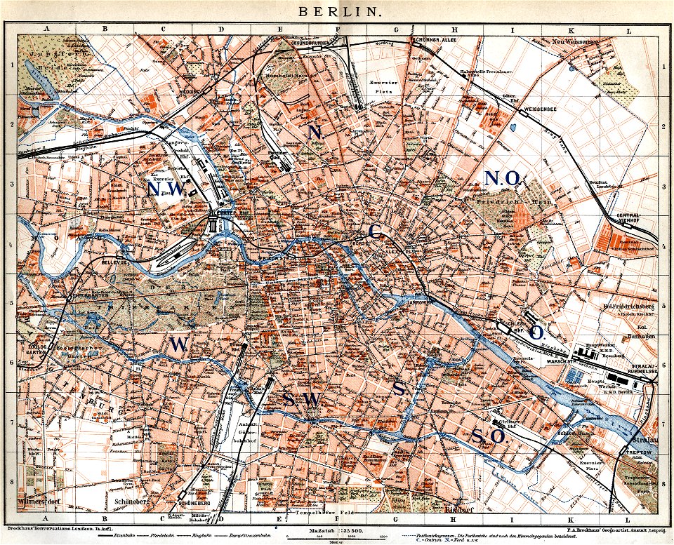
19th-century maps of berlin
maps by brockhaus
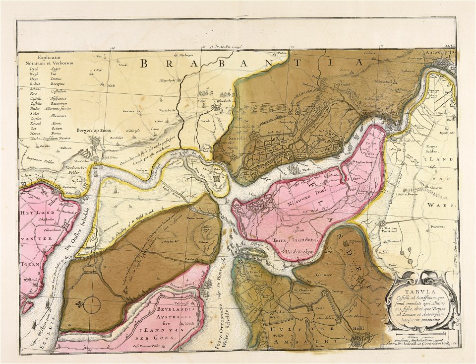
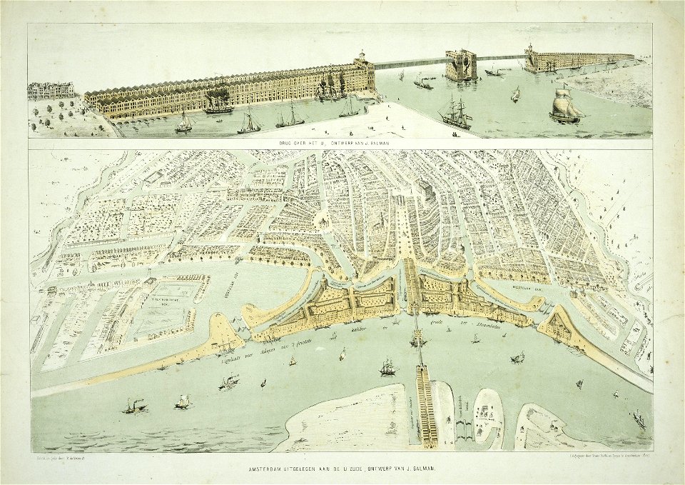
maps in the stadsarchief amsterdam
old maps of amsterdam
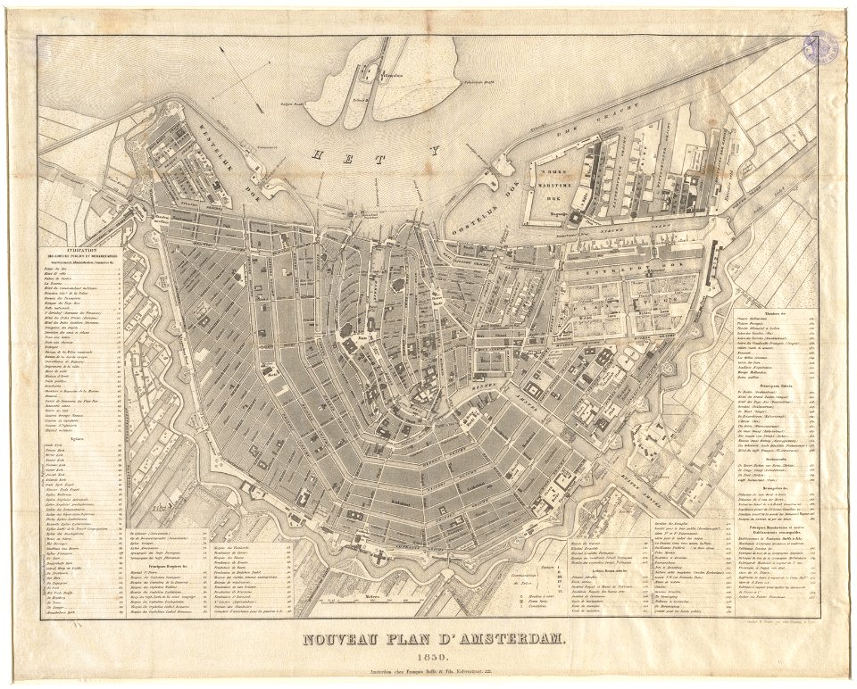
maps in the stadsarchief amsterdam
old maps of amsterdam
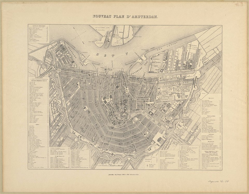
maps in the stadsarchief amsterdam
old maps of amsterdam
maps in the stadsarchief amsterdam
old maps of amsterdam
maps in the stadsarchief amsterdam
old maps of amsterdam
maps in the stadsarchief amsterdam
old maps of amsterdam
maps in the stadsarchief amsterdam
old maps of amsterdam
maps in the stadsarchief amsterdam
old maps of amsterdam
maps in the stadsarchief amsterdam
old maps of amsterdam
maps in the stadsarchief amsterdam
old maps of amsterdam
maps in the stadsarchief amsterdam
old maps of amsterdam
maps in the stadsarchief amsterdam
old maps of amsterdam
maps in the stadsarchief amsterdam
old maps of amsterdam
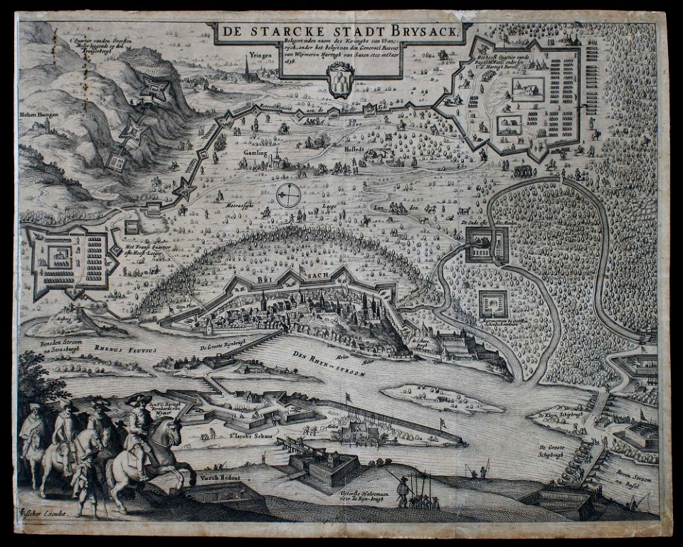
claes jansz. visscher (ii)
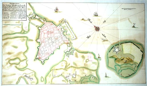
siege
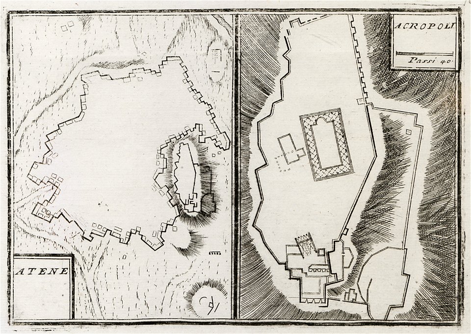
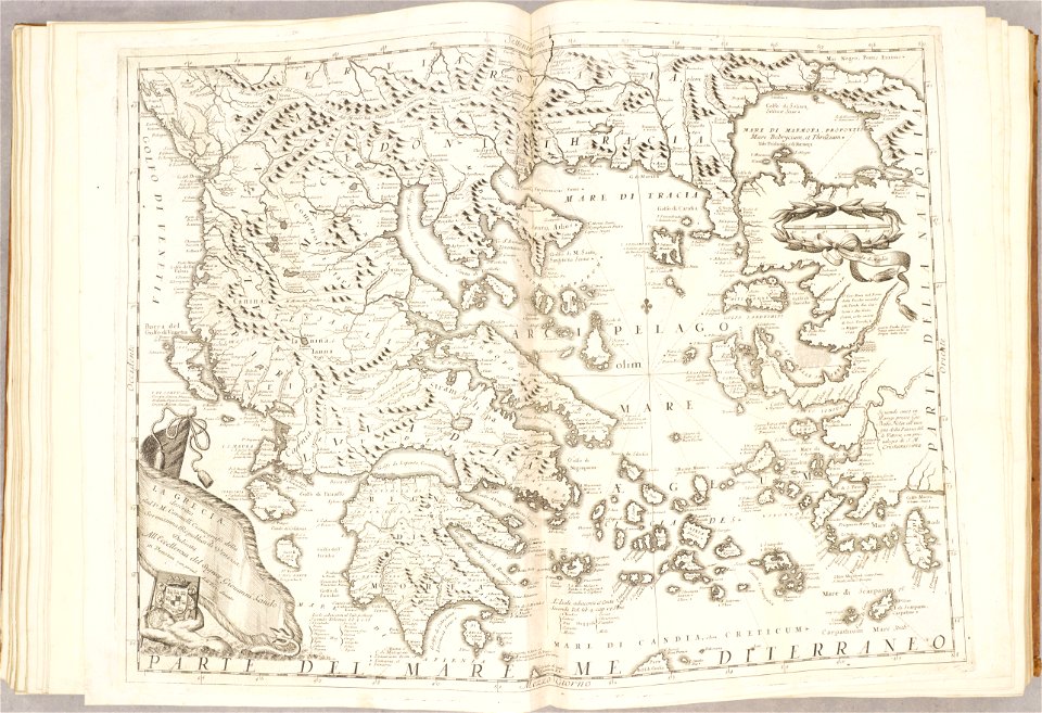
geographical illustrations by coronelli
old maps of athens
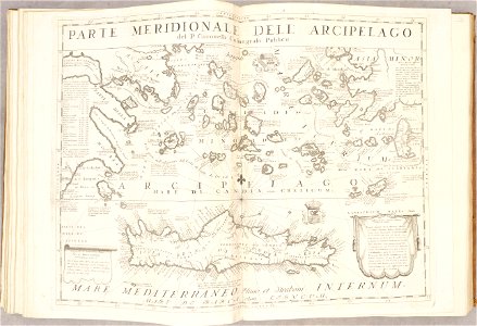
old maps of the aegean sea
old maps of crete
atlante veneto (raremaps.com) volume 2
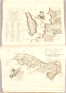
old maps of île de ré
old maps of the aegean sea
old maps of greece
maps by brockhaus
old maps of cairo
islands of california
nicolas de fer
4701 - 4800 of 35,787
Next page
/ 358